As I lay beneath the star-filled sky this evening, I reflect on my East Coast hiking adventure, three years ago today, on December 17, 2017, when I embarked on what has become an “awakening” of sorts.
I continue to look for clues to my “infatuation” with Aruba along with the source(s) igniting that “Heavenly” experience I speak of in Part One of this Two-Part series.
With the generous assistance of Sietske van der Wal, Conservation Education Manager, Aruba National Park Foundation, I began exploring the mystery behind my feeling of “being in a very good place”. Further, I began to make sense of the diverse geological wonders and how they came to be.
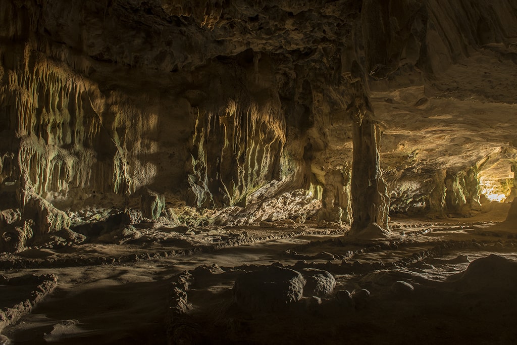
From its first tectonic shift, with Aruba completely underwater 95 million years ago to a fourth shift exposing the limestone caves, over time forming intriguing stalagmites and stalactites from slow seeping limestone water droplets, a variety of natural marvels awaited my discovery.
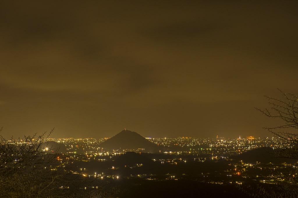
A second significant shift occurred about 85 million years ago, pushing upward, exposed the island hills (volcanic formations), you see today. These range from the coastline hills of Sero Grandi (154 feet / 47 meters) to the third-largest interior hill of Hooiberg (541 feet / 165 meters).
As a result of these major geological “shifts”, present-day Aruba consists of terrain particular to this region, The Great (Caribbean Islands) Arc. During my dawn excursions, hiking from the vast Dunes in the north to Sero Colorado (‘coloured hill’) in the south, I trekked along this magnificent landscape consisting of coral rock and tonalite (Igneous rock formed through the cooling of magma or lava).
Did I know, at the time, that I was experiencing something magnificent? Yes, indeed. I sensed it. Did I appreciate the millions of years of transformations that had occurred for this precious landscape to be what it is today? – Definitely not! – Until I gathered insight from the knowledgeable Sietske van der Wal about the abundance of geological wonders, and how they came to be, I was completely naive.
Pieces of this awe-inspiring puzzle were now beginning to fall into place!
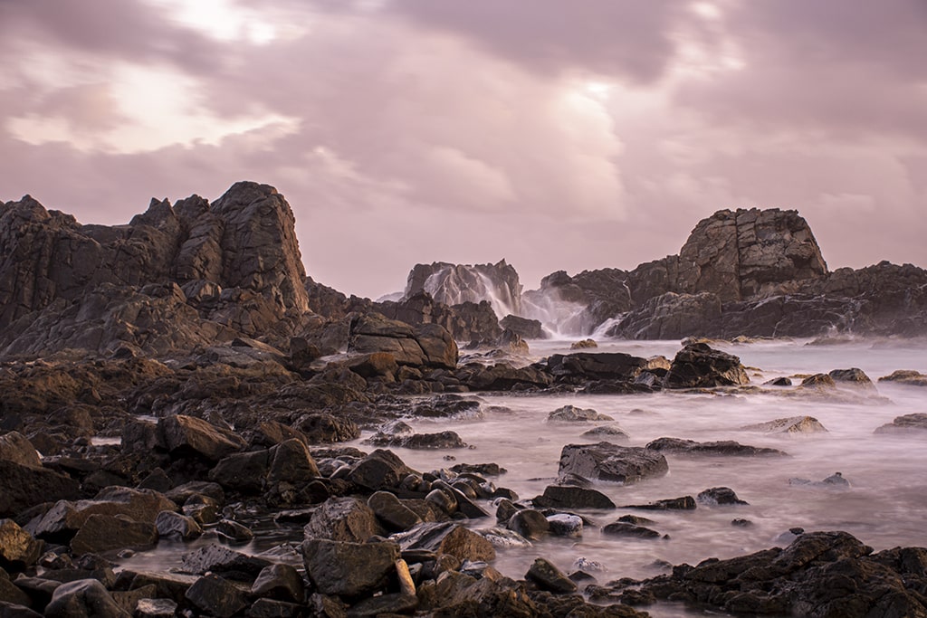
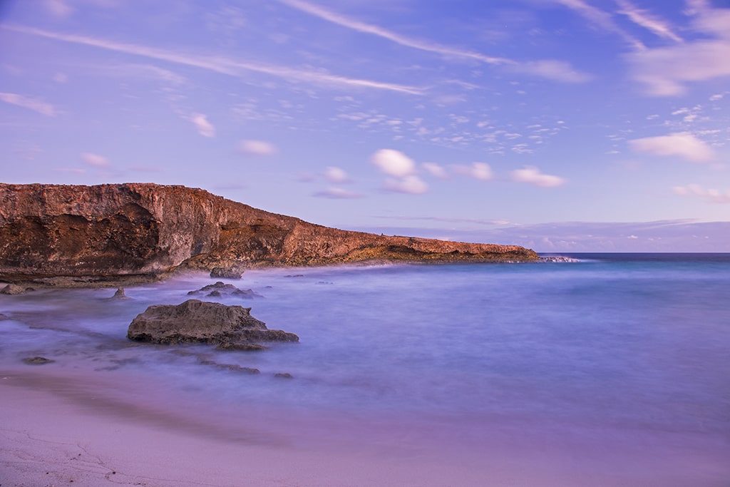
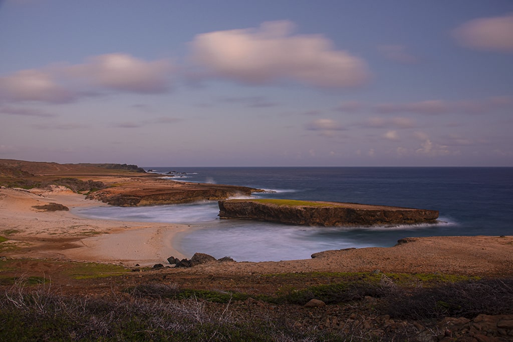
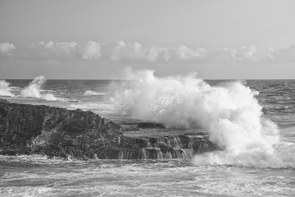
Along with the geological phenomena of 90 – 110 million years, Aruba also has the various forces of erosion carving out and establishing, spectacular landmarks. One wonderful example of the force of nature is that of Moro (known by the locals as ‘Little Aruba’) located just meters off the sandy shoreline of Boca Keto (meaning ‘quiet’).
Especially during the rainy season, Rooi Fluit (meaning ‘to whistle’), a run-off stream bed directed to the mouth of Boca Keto from the hills of Arikok Park, continues to contribute to the erosion, and shaping, of Moro. This, as well as the rough waters of the sea, have formed what we see there today.
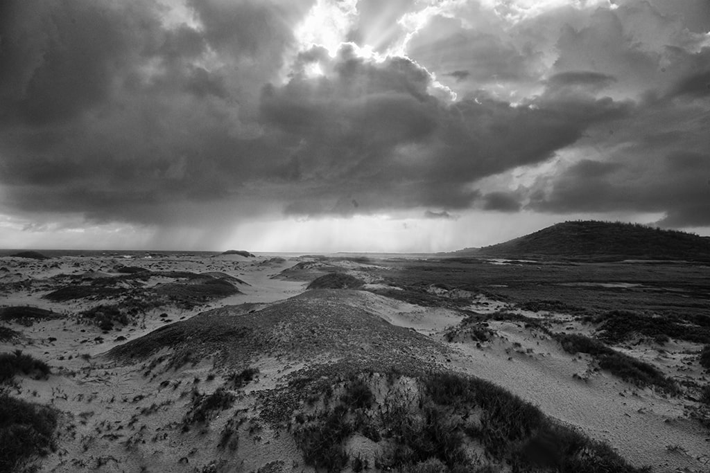
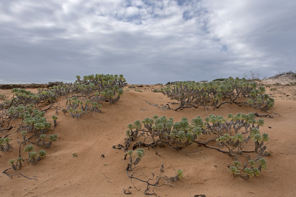
Another illustration of a spectacular landmark, a sensitive, and highly vulnerable, area to be protected, is that of the California Dunes on the northern tip of the island. These dunes form the largest of three major dune regions of Aruba – With the Sahara Dust (sand) a main contributor to its development and maintenance.
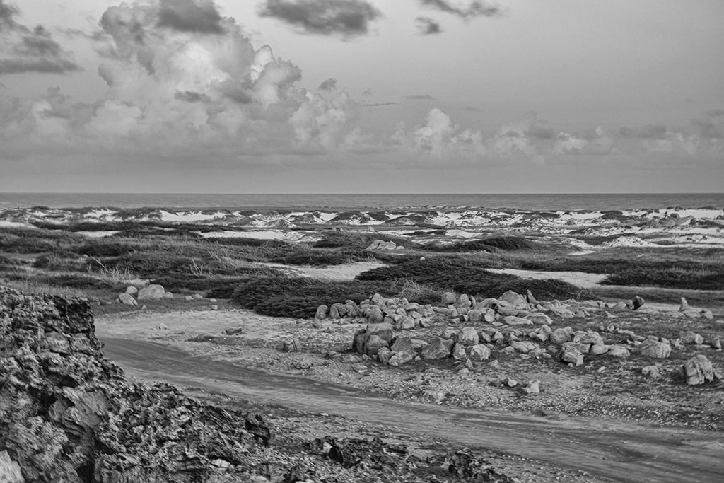
Of vital importance to stabilizing its structure, there is sensitive and unique vegetation that grows on and around these dunes. With the promotion of protecting the dunes from human interaction and ruin, nature does continue to play a role in the shifting and re-shaping of the mounds.
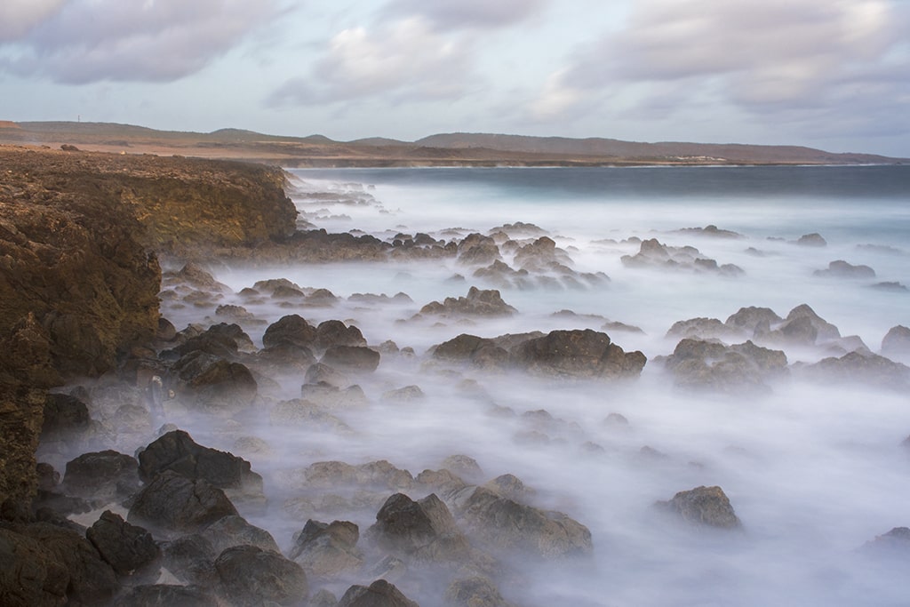
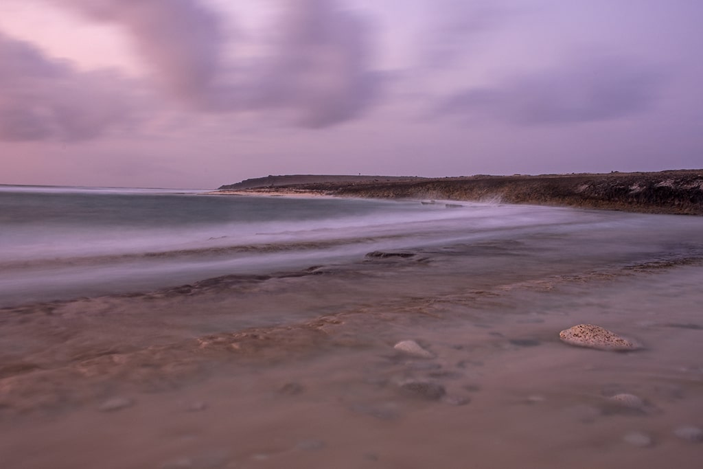
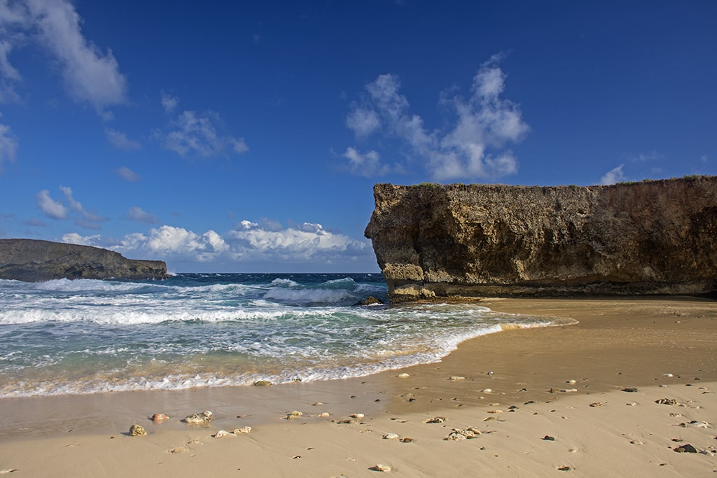
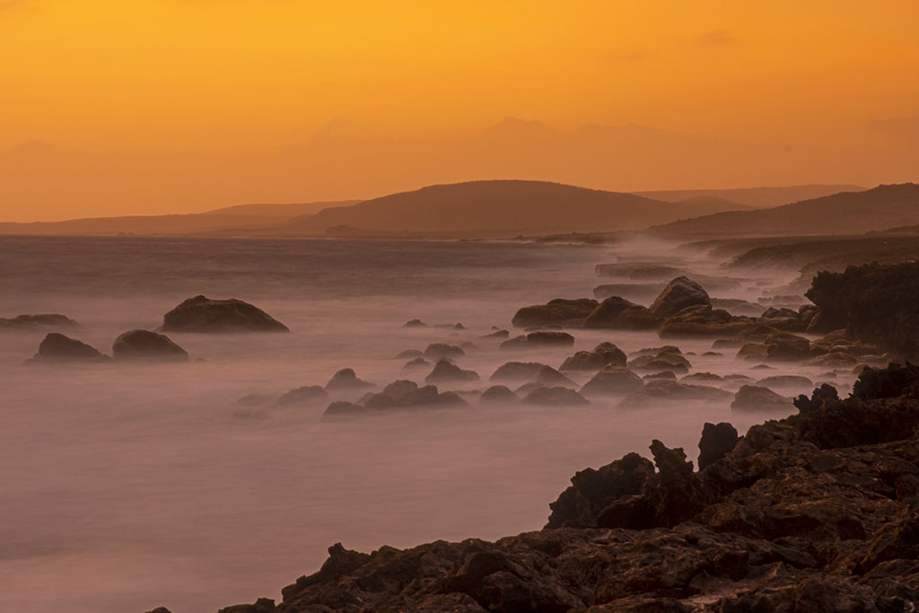
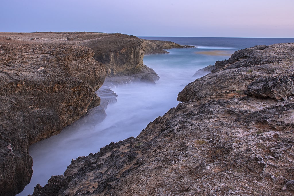
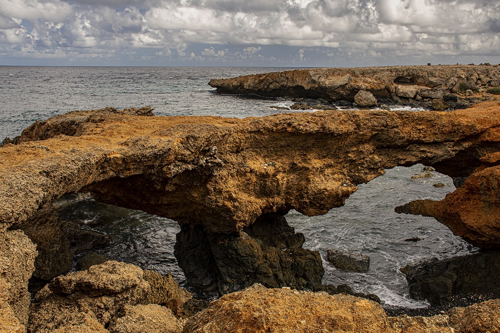
With the constant trade winds (averaging 25 – 30 km per hour) from the Northeast and East it is easy to see how erosion plays a key role in continuing to shape the landscape of Aruba. From polishing the limestone terraces of Vader Piet and carving the coral cliffs of Boca Prins, to shaping the dunes of Hudishibana and forming the Triple Arches of Blackstone Beach, the elements of wind, along with rain, sun, and rough seas, play a significant role in the landmarks we observe today!
In this Part Two of Aruba’s Spirited East Coast, I have included but a few of what Aruba truly has to offer the ‘curious explorer’ in all of us. I wish I had a complete grasp of the geological knowledge of this area to better inform everyone. However, I do hope this article piqued your interest to want to visit Aruba and to exercise your curiosities.
Thank you for taking the time to read my Two-Part series of “Aruba’s Spirited East Coast”. Once again, I would like to thank Sietske van der Wal, Conservation Education Manager, Aruba National Park Foundation, for her time and willingness to guide my brief understanding of this geological phenomenon.
Also, a special heartfelt ‘Thank You’ goes out to Mark, of VisitAruba.com, for being receptive, and patient, to my proposal and submission of such a series. It is greatly appreciated!
Want to get a better look at some of these wild beaches of Aruba? Check out our Wild Beaches video!
Discover more about our beautiful island.
Photography by Randy Bullerwell


